Location-Based Learning: Using GPS Technology for Outdoor Education
The argument for taking education outside the classroom is not new. Outdoor education has roots in progressive pedagogy stretching back more than a century, grounded in the conviction that direct experience with the physical world produces a quality of learning that instruction alone cannot replicate. What is new is the technology now available to structure, scale, and measure that experience. GPS-enabled mobile devices have transformed outdoor education from an activity that depends entirely on expert facilitation into one that educators at any experience level can design, deploy, and assess. The result is a significant expansion of what location-based learning can look like — and who can access it.
What Is Location-Based Learning?
Defining the concept
Location-based learning is an educational approach that ties instructional content to specific physical places. Rather than learning about a concept in the abstract, students encounter it at the site where it is most meaningfully understood — a geological formation, a historical landmark, an ecological transition zone, an urban planning example. The location is not a backdrop; it is the primary instructional medium.
GPS technology operationalizes this approach by allowing educators to anchor digital content — questions, challenges, audio explanations, multimedia resources — to precise geographic coordinates. When a student arrives at a defined location, their device triggers the relevant content automatically, or prompts them to engage with a challenge tied to what they can observe around them. The technology eliminates the need for printed worksheets, pre-positioned physical clues, or constant teacher facilitation across a spread-out group.
How it differs from traditional field trips
Traditional field trips structure outdoor learning primarily through observation and guided explanation. Students move as a group, hear information delivered by a teacher or external guide, and engage with the environment in ways the group’s pace and attention allow. The experience is valuable but uniform — every student receives the same information at the same moment, regardless of what interests them or what they have already understood.
Location-based learning with GPS technology allows for differentiated, self-paced exploration within a structured framework. Teams or individuals move through a designed experience at their own pace, encountering challenges suited to their task. Teachers monitor progress remotely through a dashboard rather than physically shepherding a group. The shift from passive observation to active investigation fundamentally changes the cognitive engagement of the experience.
GPS Technology in Outdoor Education: How It Works
Modern location-based learning platforms use GPS coordinates embedded in mobile apps to trigger content when a student’s device enters a defined radius around a point of interest. The accuracy of consumer GPS varies between 3 and 10 meters in open environments. Most platforms recommend a minimum trigger radius of 15 meters to guarantee reliable activation — a student within that range of a geological feature or historical marker is close enough to observe and engage with it meaningfully.
Platforms designed for outdoor education allow educators to build what are variously called checkpoints, missions, or challenges at each GPS-anchored location. These can include multiple-choice questions, open-ended observation prompts, photo documentation tasks, audio-triggered explanations, or video evidence submissions. The format is flexible enough to support radically different pedagogical objectives — from straightforward knowledge recall to sophisticated field research protocols. Locatify’s TurfHunt platform, for example, supports GPS-triggered challenges across outdoor environments of any scale, from a single school campus to a regional geopark, and has been deployed for educational purposes across multiple continents.
Connectivity is a practical consideration. An internet connection is required to download a game before heading out — once downloaded, however, TurfHunt and similar platforms can run offline in remote or low-connectivity areas. Responses, media submissions, and collected data are stored locally and synchronized automatically as soon as the device is back online. Educators should ensure participants download the game before departure rather than on-site.
Applications by Subject Area
Natural Sciences and Environmental Education
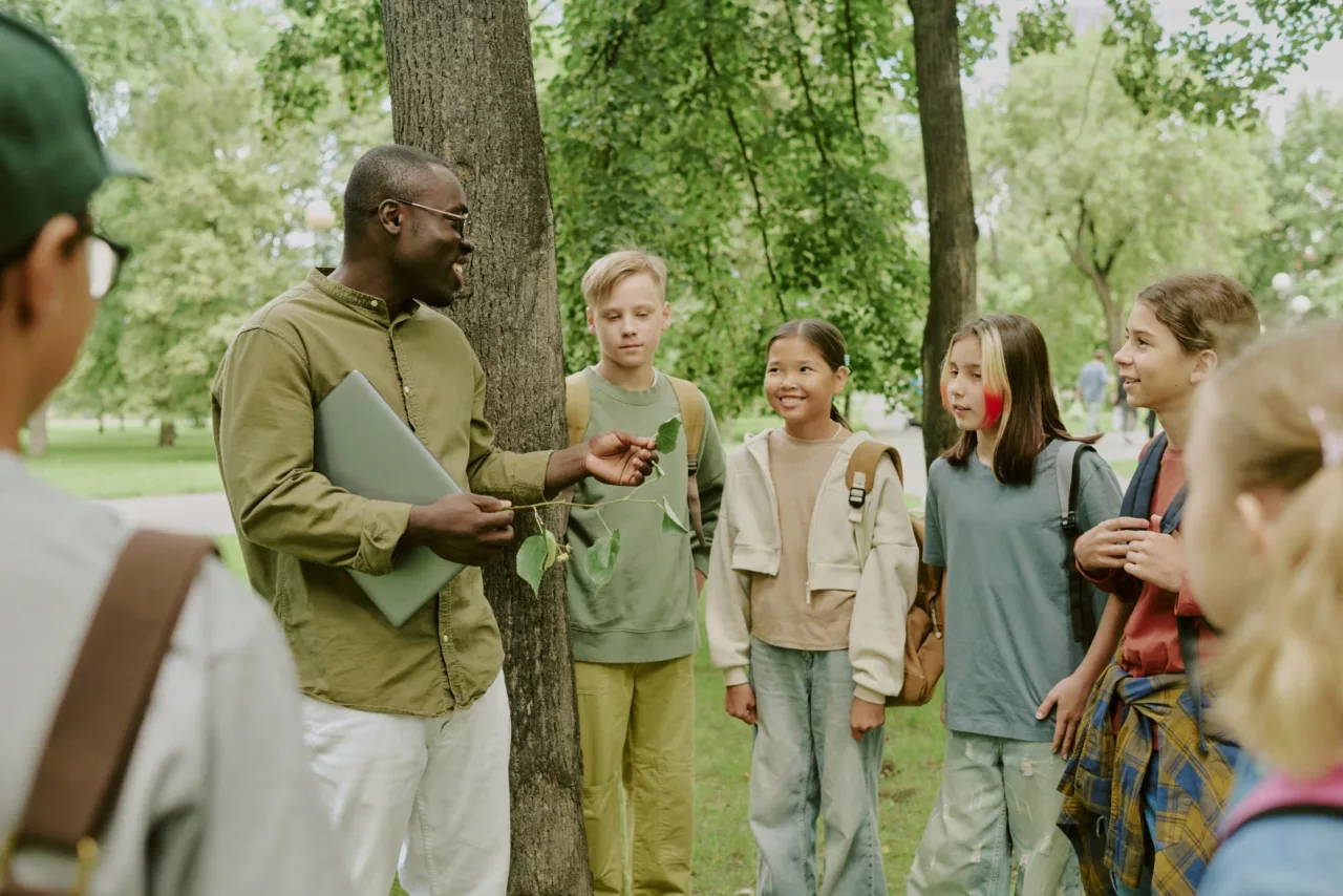
The natural sciences are perhaps the most intuitive fit for location-based learning. Ecology, geology, botany, and environmental studies all benefit from direct observation of the phenomena being studied. A GPS-anchored challenge at a specific tree species, rock formation, or water sample point transforms a field study from a passive walk into an active investigation.
Schools working with natural sites have used GPS-based challenges to guide students through biodiversity surveys, watershed mapping exercises, and climate observation protocols. The structure provided by the location-based format gives students clear tasks at each stop rather than open-ended exploration that can lose focus without strong facilitation. The documentation features — photo submission, typed observations — create a record of student inquiry that functions as both an assessment artifact and a scientific dataset.
History and Heritage Education
Location-based learning is particularly powerful for history education because it places students at the actual sites where events occurred. An Australian History teacher documented in a Goosechase case study in 2025 how students visiting the Anzac Legacy Gallery at the Queensland Museum engaged with historical artifacts, photographs, and spaces through GPS-anchored missions that asked them to observe, position themselves relative to physical objects, and reflect on historical significance. The spatial dimension of the experience — standing where others had stood — produced a quality of engagement that classroom instruction about the same content could not replicate.
Heritage sites, UNESCO geoparks, and cultural institutions have adopted similar approaches for both school groups and independent visitors. MAGMA UNESCO Global Geopark in Norway has used Locatify’s GPS platform with schoolchildren and adult visitors to structure exploration of geological and cultural heritage across a landscape that spans hundreds of square kilometers — a scale impossible to cover effectively with traditional guided tour formats.
Geography and Urban Studies
Cities themselves are learning environments when GPS technology provides the scaffolding. Urban geography, local history, community mapping, and environmental justice studies all gain depth when students move through the spaces being analyzed rather than examining them through satellite images or textbook photographs. Location-based challenges in urban environments can ask students to document infrastructure, observe land use patterns, interview community members, or compare observed conditions against data they have studied in class.
Campus-level geography exercises — common in higher education as orientation activities — have been adopted by secondary schools as a model for place-based learning about the immediate environment. GPS-triggered challenges that direct students to specific campus locations, ask them to observe something specific, and connect that observation to curriculum content turn familiar spaces into structured learning environments.
Physical Education and Interdisciplinary Learning
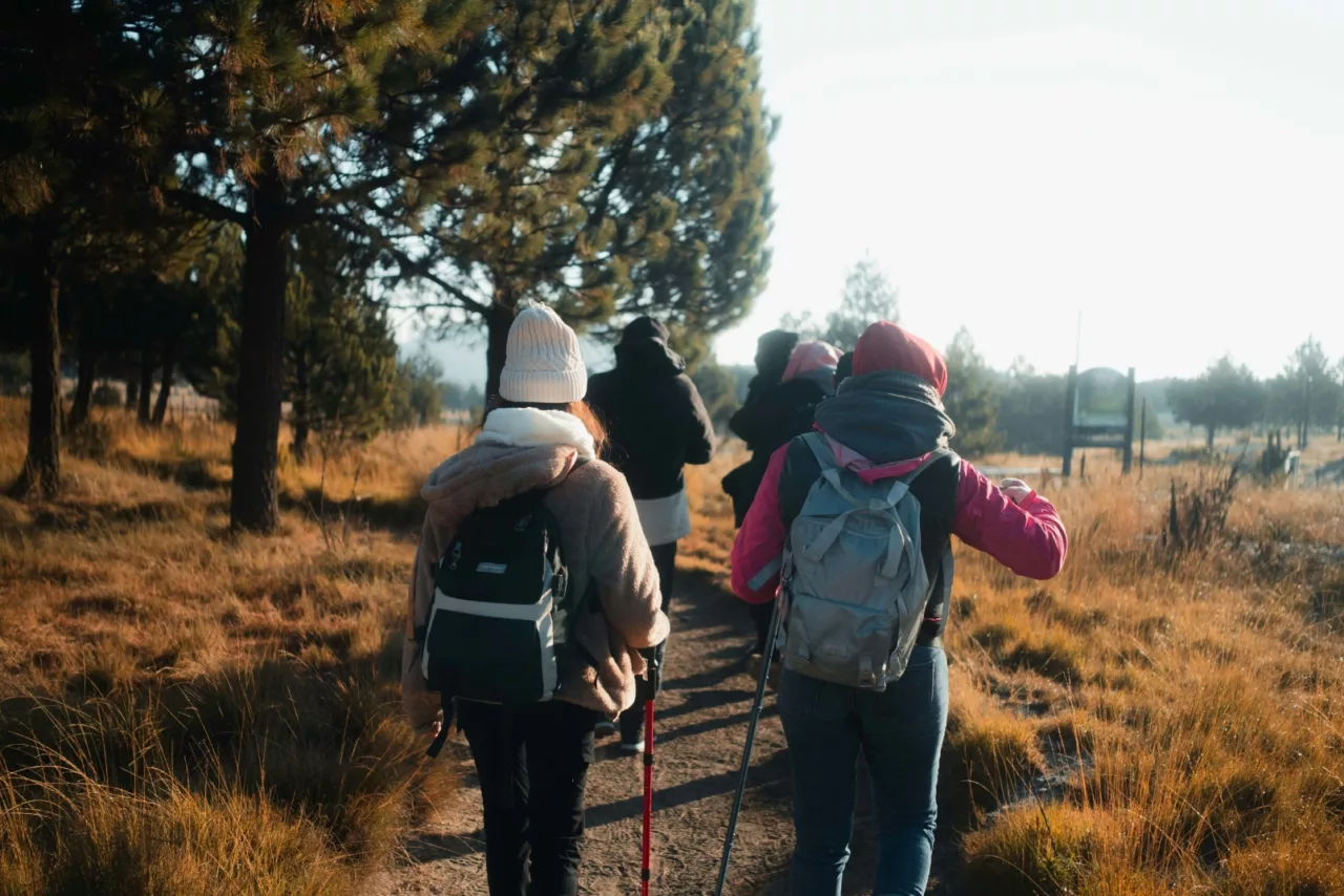
Location-based learning integrates physical movement into the educational experience in ways that screen-based platforms cannot. GPS-triggered challenges require students to walk, navigate, and make spatial decisions — adding a physical dimension to learning that supports both health outcomes and the embodied cognition research suggests supports memory formation. Cross-curricular design, in which a single outdoor experience addresses objectives from science, geography, language arts, and physical education simultaneously, is considerably more feasible with GPS-anchored content than with classroom-based instruction.
Implementing Location-Based Learning: Practical Considerations
Site reconnaissance. Visit the location before the student experience. Verify GPS accuracy at key points, confirm connectivity, identify logistical challenges, and ensure the physical environment is safe and accessible for the student population. The quality of the student experience depends substantially on how thoroughly the educator has prepared the site.
Objective-first design. Each GPS checkpoint should connect directly to a curriculum objective. Avoid adding stops simply because they are interesting or accessible. Students and teachers both benefit from a clear line of sight between the physical challenge and the learning goal it serves.
Team structure. Location-based learning in outdoor environments is most effective when students work in small teams of three to five. Teams large enough to distribute navigation, documentation, and decision-making roles, but small enough that every member contributes. Assign roles explicitly at the start of the activity.
Debrief. The outdoor experience generates raw material — observations, photos, responses, questions — that requires processing. A structured debrief, either immediately after the activity or in the following class session, converts that raw material into durable learning. Ask students what they observed, what surprised them, and how what they saw connects to what they knew before.
Platform selection. Choose a platform suited to your environment and objectives. For GPS-triggered outdoor challenges with teams, TurfHunt by Locatify (locatify.com/solutions-for-education) offers a purpose-built tool used by schools, universities, and heritage institutions across multiple countries. The platform supports challenge design, real-time monitoring, and post-activity review within a single system designed specifically for educational use.
The Evidence Base for Location-Based Learning
The research on place-based and outdoor education consistently supports its effectiveness for engagement and contextual memory formation. Students learn more durably when content is encountered in context — when the thing being studied is physically present rather than represented by a photograph or description. GPS technology does not change this fundamental finding; it makes the logistics of structuring such experiences manageable for educators who are not outdoor education specialists.
As GPS accuracy improves, as mobile devices become more robust in outdoor environments, and as platform design continues to mature, location-based learning is positioned to become a standard component of comprehensive education — not an occasional field trip, but a regular instructional mode that complements classroom instruction with direct environmental engagement.
Related Reading
→ Gamification in Education: From Classrooms to Outdoor Learning — locatify.com/blog/gamification-in-education
→ Digital Gamification Platforms for K-12 Education: A Comprehensive Guide — locatify.com/blog/digital-gamification-platforms-k12
→ Locatify Education Solutions — https://locatify.com/solutions-for-education/